

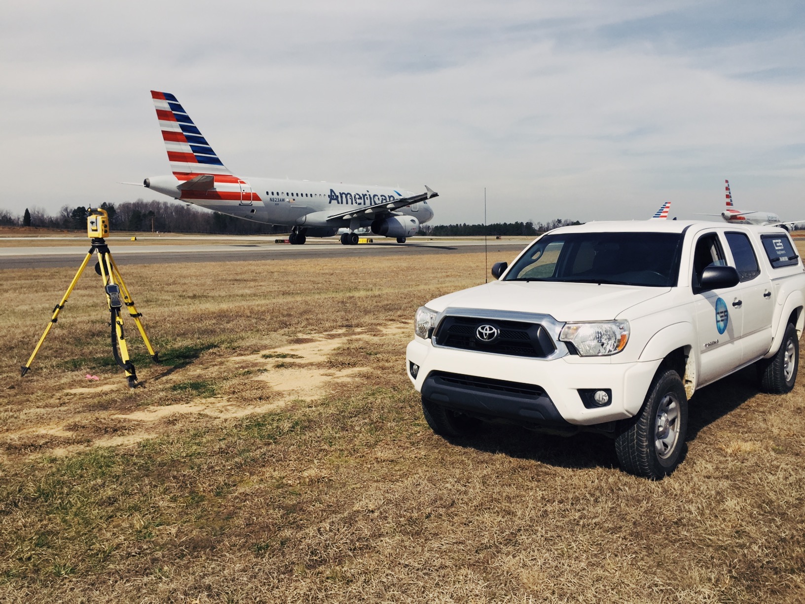
Geomatics refers to the integrated approach of measurement, analysis, management, storage and display of both two and three-dimensional Earth-based spatial data.
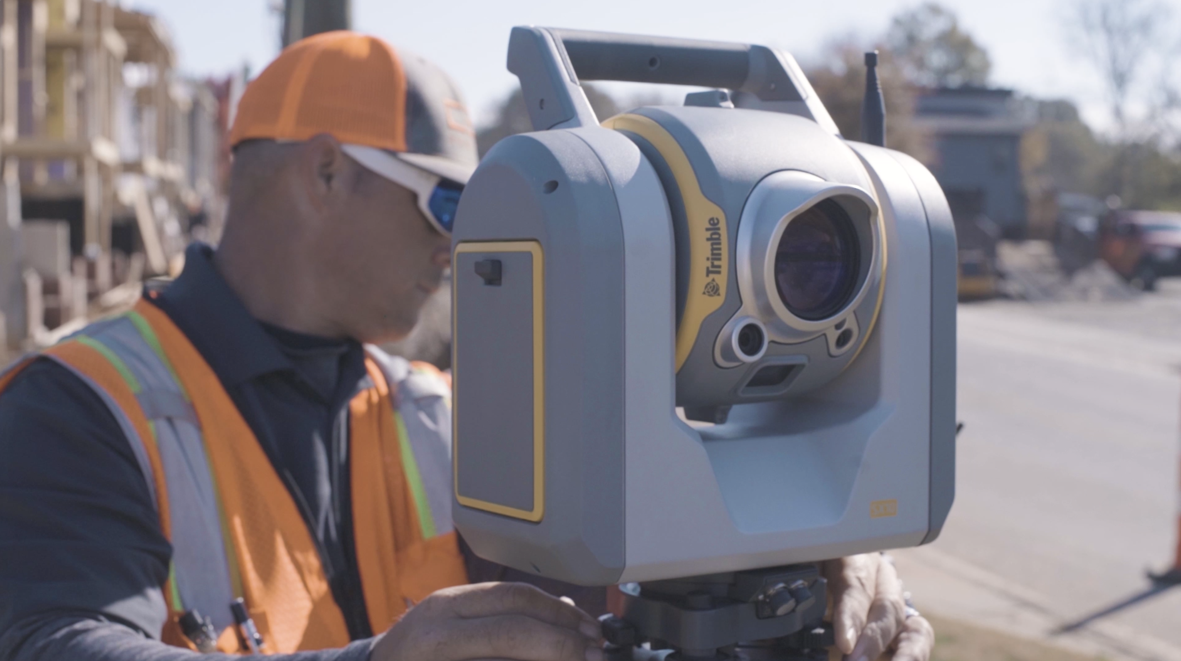


This data is collected, processed and manipulated using state-of-the-art information technology software and hardware. It has applications in all disciplines that depend upon spatial data, including but not limited to environmental studies, planning, engineering, navigation, geology, mining, oceanography, infrastructure and land development. The science and technologies used in geomatics should always be subject to and balanced by the judgement of a Professional Land Surveyor.
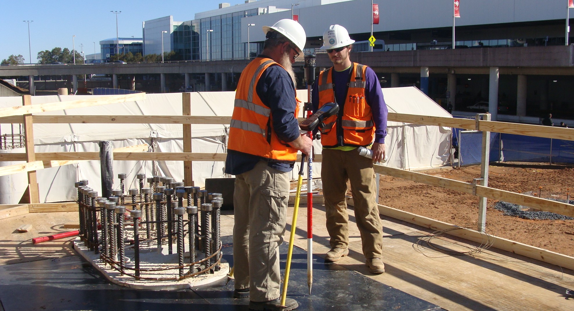
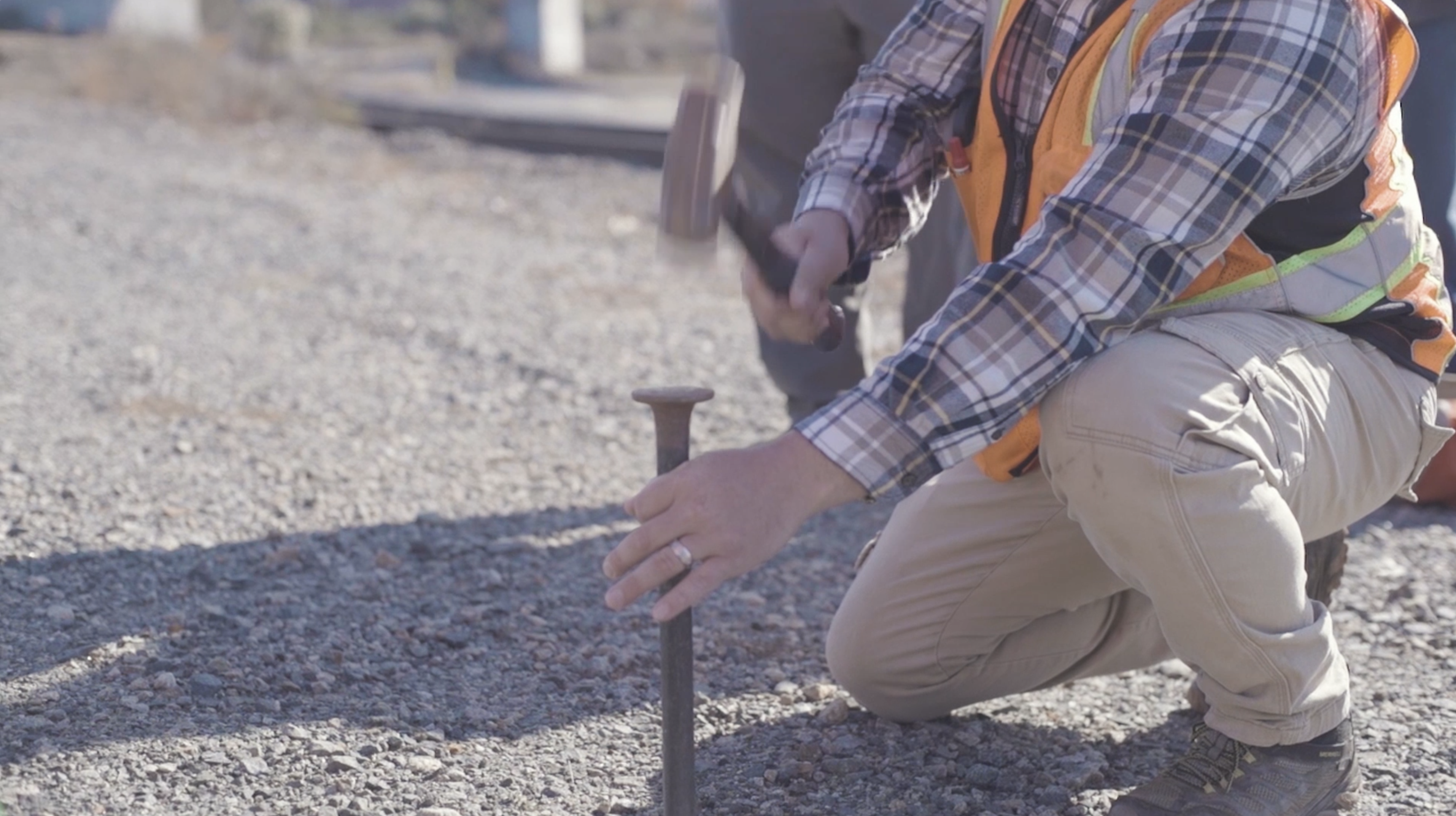
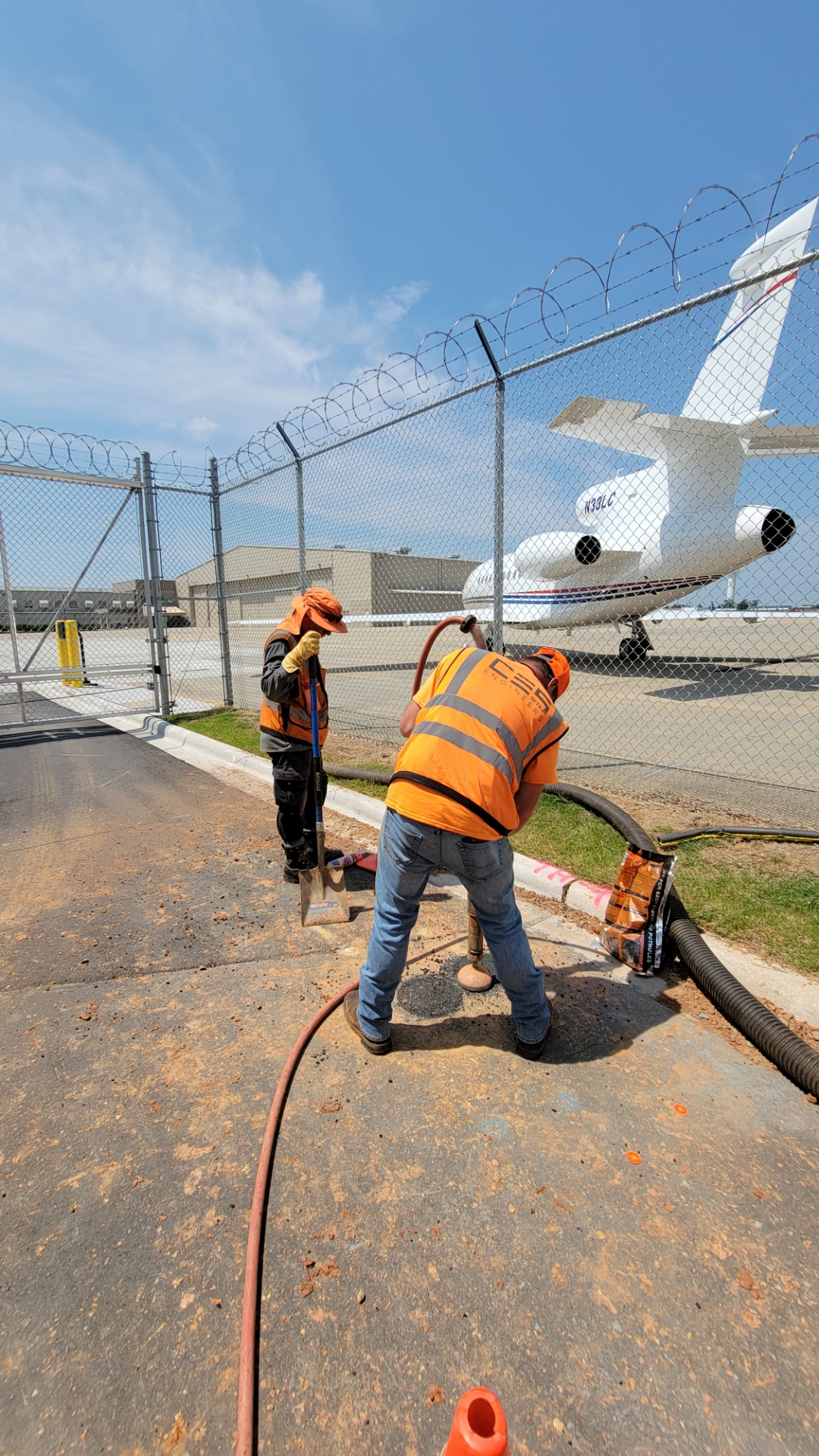
Combining elements of civil engineering, land surveying and geophysics, the discipline of Subsurface Utility Engineering (SUE) is a process that has evolved over the past several decades to become a critical component of public roadway and other types of design projects. Utilizing multiple technologies to satisfy the four (4) defined quality levels that represent degrees of risk in developing the subsurface utility information needed for design and construction, SUE has become a routine requirement to reduce project cost, minimize construction delays and enhance safety.
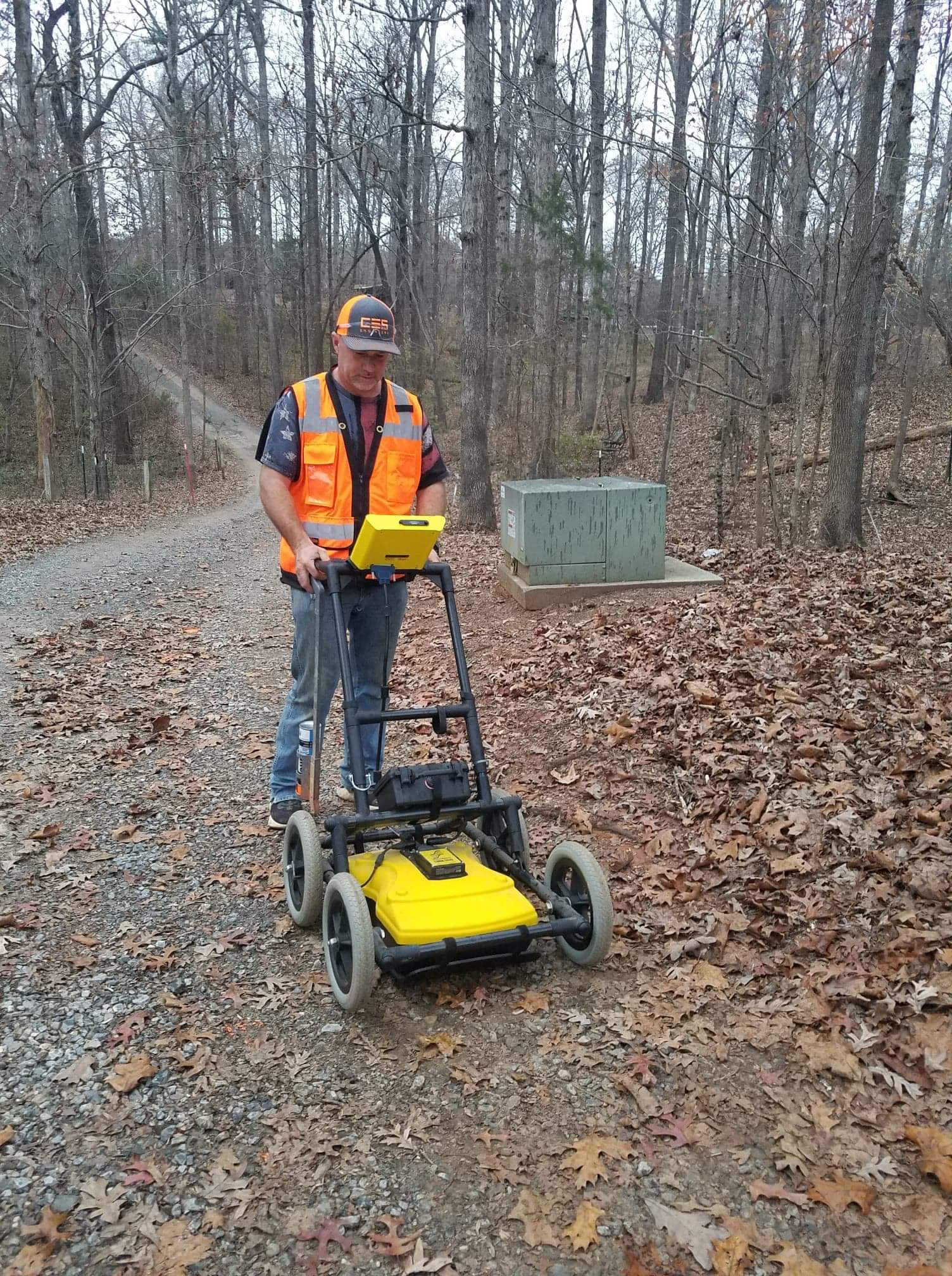

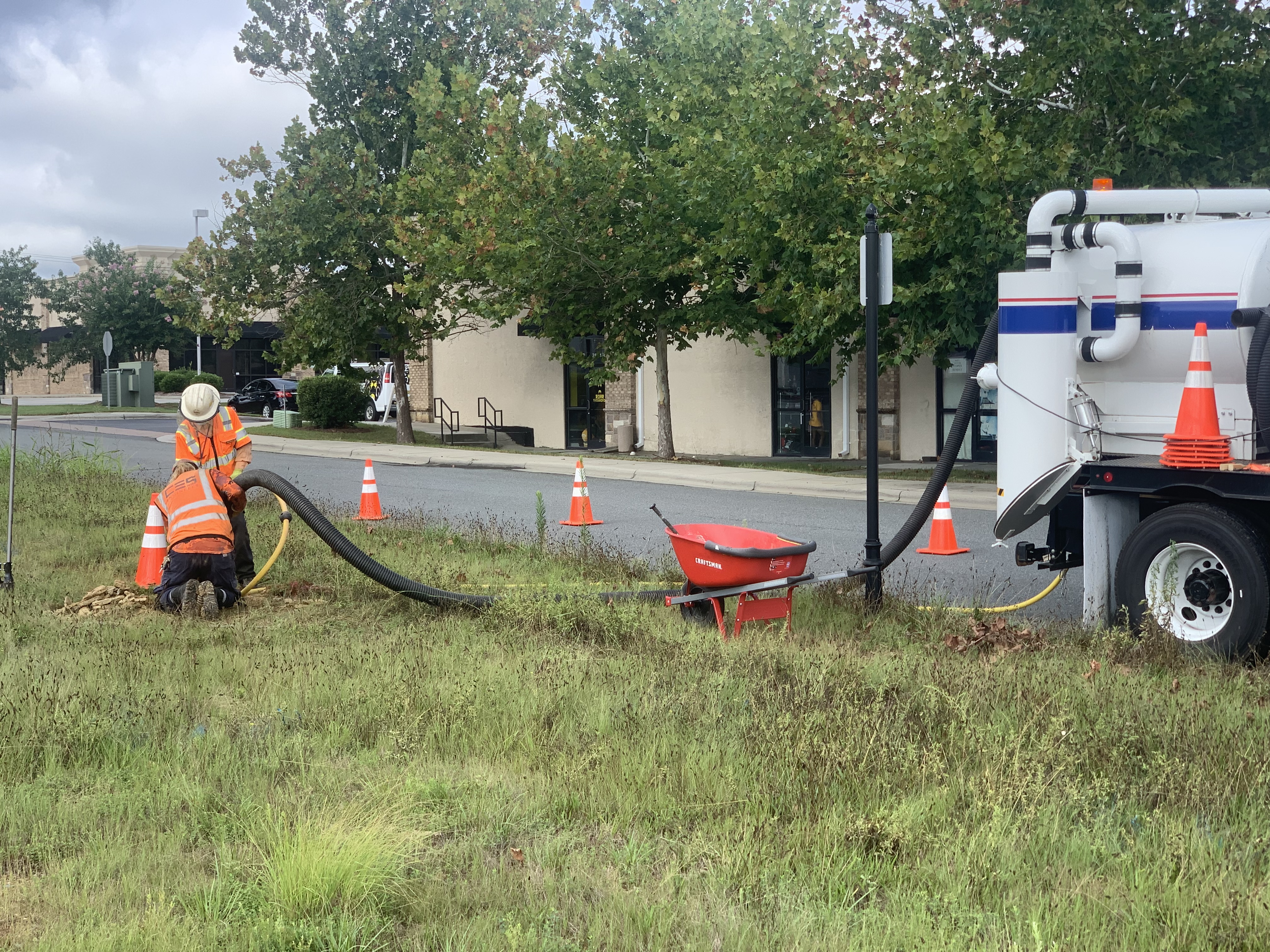
With SUE and land surveying personnel working hand-in-hand within the CES Geomatics Division, utility systems are accurately designated, located and three-dimensionally mapped. Directed by the SUE Operations Manager, a trained and experienced SUE Analyst, CES uses the latest ground penetrating radar, other electronic equipment and vacuum excavation to provide the four (4) SUE quality levels, described as follows:
Quality Level D
Used primarily for project planning or route selection, QL-D information is derived from existing utility records.
Quality Level C
QL-C involves surveying visible utility facilities, such as manholes and valve boxes, and correlating this information with existing utility records (QL-D information).
Quality Level B
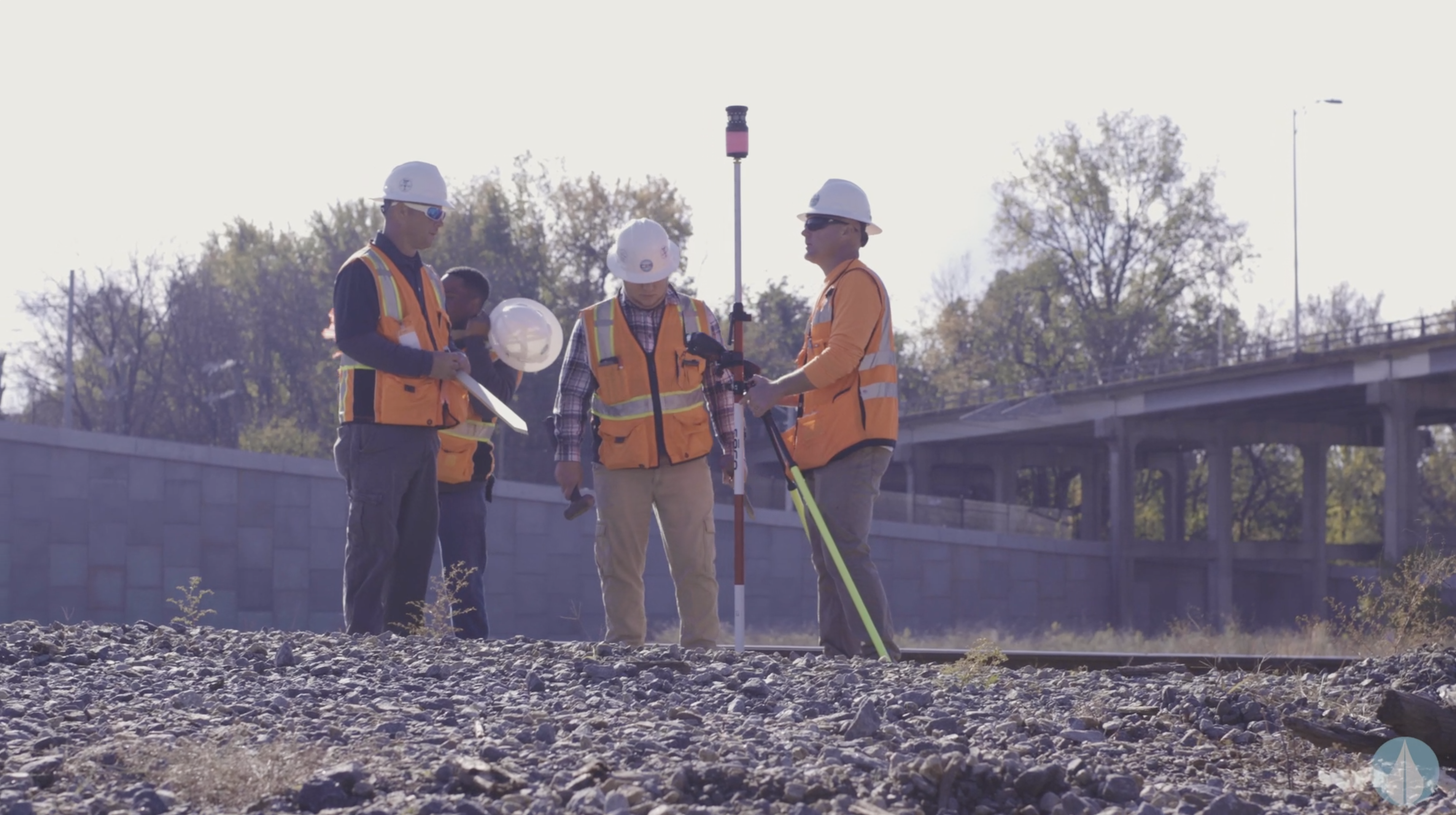
Known as “designating”, QL-B involves the application of appropriate surface geophysical methods to determine the existence and horizontal position of virtually all utilities within the project limits, with these points then surveyed and tied to project control.
Quality Level A
QL-A uses vacuum excavation for the nondestructive exposure of underground utilities, along with other levels of information to provide the precise plan and profile mapping of utility systems, including the type, size, condition, material and other characteristics of underground features.

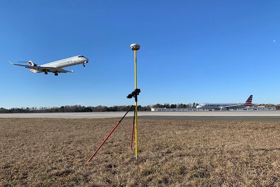
CDIA South Cross-Field Taxiway
View Profile
Owner / Client
Charlotte-Douglas International Airport / WSP Discipline(s)
Land Surveying
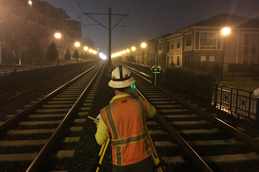
CATS LYNX Blue Line Express Extension
View Profile
Owner / Client
City of Charlotte, NC / Balfour Beatty – Blythe Development JV
Discipline(s)
Land Surveying, Construction Staking
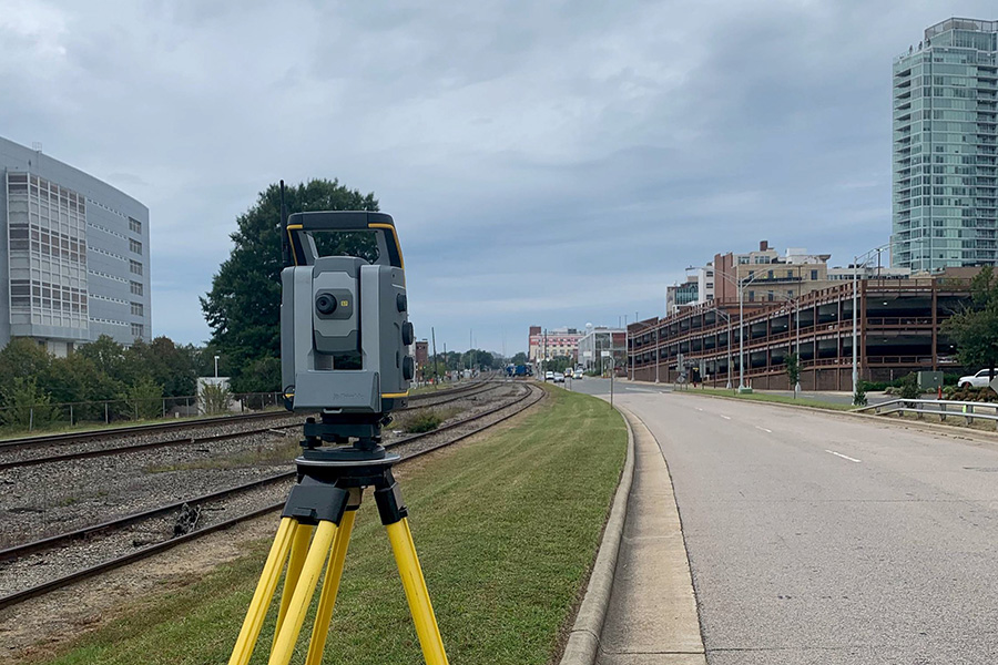
Greater Triangle Commuter Rail
View Profile
Owner / Client
North Carolina Railroad Co. / STV
Discipline(s)
Design Surveying
A nationally recognized & locally-minded team, we’ve earned our reputation as Charlotte's Premier Land Surveyors.

Michael Case, PLS
Regional Survey Operations Director
AAS Civil Engineering Technology, Trident Technical College
Licensed Professional Land Surveyor: NC, SC
Michael has extensive knowledge and over 49 years of experience in various areas of land surveying services. His areas of practice include transportation, environmental, residential land development, water/waste water resources, and telecommunications. Michael’s responsibilities include project management, budgetary control, and overall QA/QC for a variety of boundary, topographic, construction, control, and GPS survey projects for private, public, and federal clients. In addition, his personal experience encompasses planning studies, mapping, quality assurance, and construction layout as well as review of numerous large and complex public, municipal, residential, commercial, and industrial projects.
Mike Shinn
Regional SUE Operations Director
Michael has over 33 years of experience in the utility location and mapping industry. His diverse background, which beyond underground utility detection, includes damage prevention and claims investigations for various utility companies. While working in the "One Call" industry, Mike managed 90 employees in 23 North Carolina counties in numerous concurrent tasks. Since firmly establishing himself in the subsurface utility engineering profession, Mike’s project management responsibilities have encompassed all Quality Levels of SUE service for public and private project assignments. He utilizes a hands on approach to project management: working closely with field crews and office personnel to deliver high quality data.
Geomatics & SUE Services
Land Surveying
- Boundary Surveys for Acquisition, Easements & Disputes
- ALTA / ACSM Land Title Surveys
- Platting & Parcel Monumenting
- Residential & Commercial Subdivision
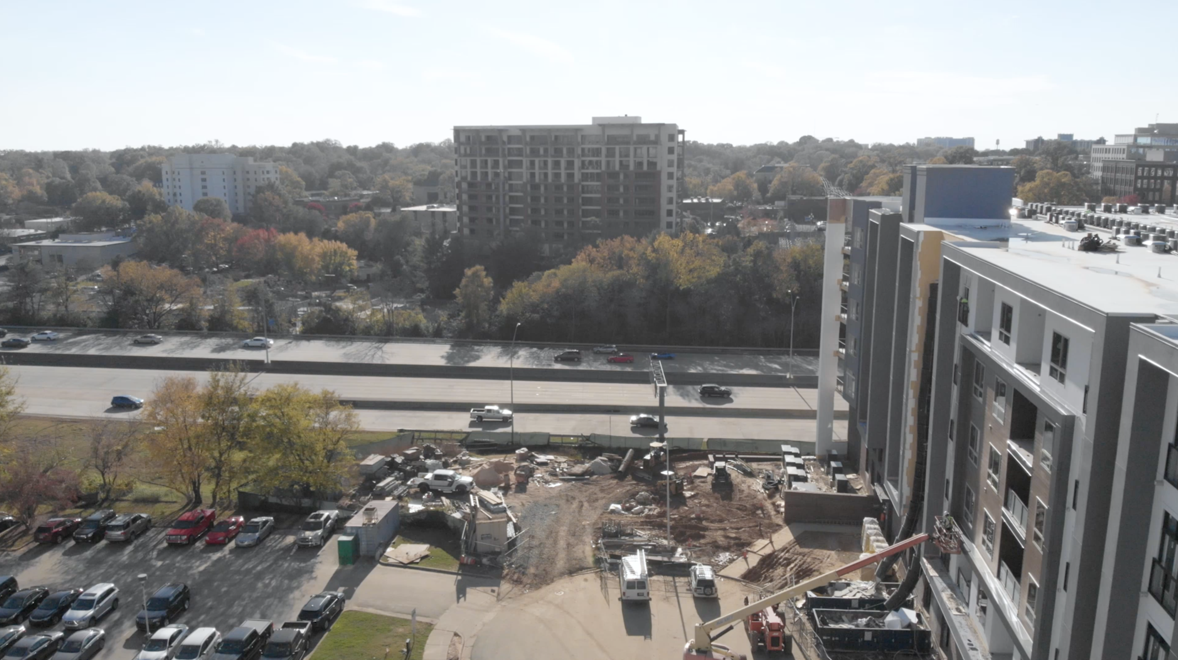
Design & Construction Surveying
- 3-D Scanning
- Topographic Surveys
- Utility and Transportation Route Surveys
- Construction Staking for Residential, Commercial & Public Infrastructure Development
- Mapping Control Surveys
- Utility Inventory Surveys
- As-Built Surveys
Subsurface Utilities
- Electromagnetic (EM) Locating
- Ground Penetrating Radar (GPR)
- Core Drilling
- Interior Locating (Walls/Foundations)
- Locate Underground Storage Tanks, Non-Metallic and Abandoned Lines
- Locate Water, Sewer, Electric, Fiber, Telecom and Gas Services
- Subsurface Utility Engineering (SUE): Quality Levels A, B, C, and D
- Vacuum Excavation (Air/Hydro) Services